Document
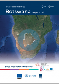
This country risk profile for Botswana provides a comprehensive view of hazard, risk and uncertainties for floods and droughts in a changing climate, with projections for the period 2050-2100.
The following is a list of all conten labeled as "Vulnerable Populations"
This country risk profile for Botswana provides a comprehensive view of hazard, risk and uncertainties for floods and droughts in a changing climate, with projections for the period 2050-2100.

This is the third consecutive year that CARE publishes its report “Suffering In Silence”. It serves as a call for the global community to speak up for people in crises who are otherwise forgotten and to help them overcome hardship.
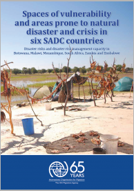
In light of national, cross-border, transboundary and regional hazards of various type in Southern Africa, a desk review was undertaken by the International Organization for Migration (IOM) in order to enhance the understanding of disaster risk and spaces of vulnerability (i.e.

This document describes the main results of the Regional Inter-Agency Standing Committee (RIASCO) Action Plan for the El Niño-Induced Drought in Southern Africa 2016/2017.
It includes an analysis by sector, funding, lessons learnt and recommendations and a chapter for developmental risk management solutions.

This document is a revision of the Regional Inter-Agency Standing Committee (RIASCO) Action Plan published in July 2016. It is in support of the Southern African Development Community’s (SADC) Regional Appeal for Humanitarian and Recovery Support.
The purpose of this document is to provide a brief introduction to the INFORM Subnational process for decision-makers. It covers:

The aim of this report is to support legislators, public administrators, DRR and development practitioners and advocates to prepare and implement effective disaster risk management (DRM) legal frameworks for their country’s needs, drawing on examples and experience from other countries.

Risk Atlas of the Sofia Region. It includes information and mapping regarding physical geography of the region; settlements, infrastructure, health and agricultural sectors and climatic hazards, such as cyclones, droughts and floods.

Risk Atlas of the Sava Region. It includes information and mapping regarding physical geography of the region; settlements, infrastructure, health and agricultural sectors and climatic hazards, such as cyclones, droughts and floods.
Newsletter from CRED (Issue no.56 November 2019).